Drone Mapping, Aerial Inspection and Construction Progress
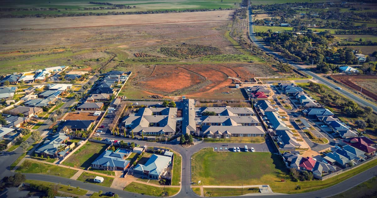
Bendigo Aerial’s core business is within the commercial services. We can provide construction progress photos, drone inspections and mapping services throughout Australia and Asia Pacific regions. We use the latest RPA/UAV with cutting edge drone software to provide an affordable and professional solution for your business.
What is Construction Progress by Drone?
When inspecting assets such as pipelines, machinery, chimneys and solar panels, there is always a need to work at dangerous heights and areas to ensure that the inspection is carried out adequately. In doing that, the inspector is exposed to complex challenges and safety issues.
Bendigo Aerial RPA/UAV’s can access areas with its drone cameras to provide accurate inspection of properties and work progress. By hovering close to inaccessible areas using high-resolution cameras, our drones ensure that no place is left uninspected. By using drones to inspect dangerous heights and areas, we can keep your workers safe on the ground.

What is Drone Mapping and Surveying?
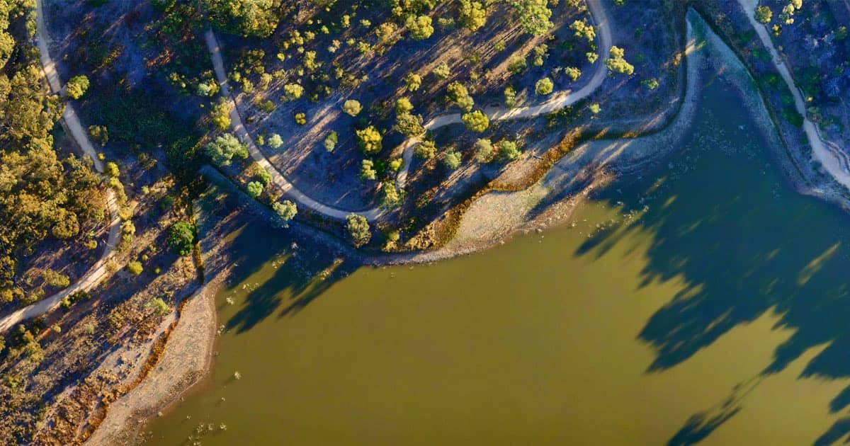
The use of RPA/UAVs can provide high-resolution imagery for mapping and land surveying. The aerial imagery includes GPS data, elevation and georeferenced metadata. With this information measurements including distance, volume, elevation and area can be captured directly from the drone images. Ideal for property development, farming, construction, adverse possession and land surveying. We use sophisticated cloud photogrammetry and map engine software to plan a path and height for the images to be captured. We can provide detailed 2D images at a higher resolution than Google Maps/Earth. Get real-time imagery to be used for photogrammetry, progress reports, and land titles for property or land surveys. Although we don’t specialise in 3D modelling, we certainly can provide a 3D model from the images captured that create a unique perspective for your customers.

Benefits of Using Drones for Inspection and Mapping
Orthophoto Using DroneDeploy and OpenDroneMap
Watch Commercial Drone Operator – VLOG – Please Like and Share
