Achieving High Accuracy in Drone Mapping with DroneDeploy
High accuracy in drone mapping is important for construction, agriculture, and environmental monitoring. At Bendigo Aerial we use drones and DroneDeploy for many industries . Here are practical steps to achieve accurate maps with fewer Ground Control Points (GCPs) and DroneDeploy.
Understanding High Accuracy Drone Mapping
High accuracy in drone mapping depends on precise data capture and analysis. Traditional methods required many GCPs, making the process slow. New technologies like Real-Time Kinematic (RTK) and Post-Processed Kinematic (PPK) enable sub-inch accuracy while reducing GCPs.
- Video: Orthophoto Using DroneDeploy and OpenDroneMap
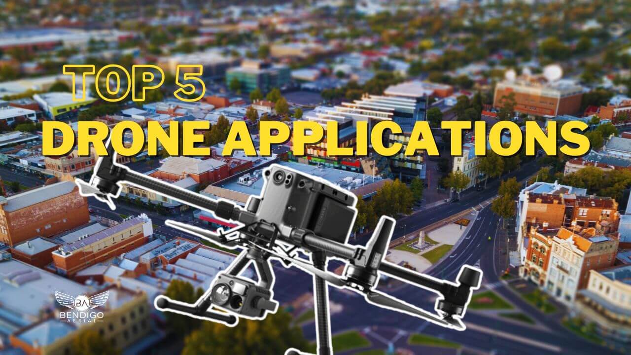
- Blog Post: Top 5 Drone Applications for Drone Operators
- Blog post: Top 3 Advantages of Drones in Agriculture
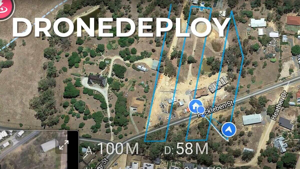
Importance of Planning Your Drone Flight
Effective flight planning leads to high accuracy mapping. Consider these factors:
- Optimal Flight Altitude: Lower altitudes give better image resolution. Aim for around 120 feet for high precision. Higher altitudes reduce detail.
- Flight Path Definition: Ensure ample coverage and overlap. Aim for 70-80% front overlap and 60-70% side overlap. This overlap helps software stitch images correctly.
- Environmental Conditions: Weather affects data quality. Avoid high winds, thick clouds, or poor lighting.
- Pre-Flight Checklist: Check battery levels, camera settings, and RTK or PPK configurations before launch. This preparation prevents issues.
The Role of Ground Control Points and Checkpoints
GCPs and checkpoints are vital for mapping accuracy.
- GCP Placement: Position GCPs away from obstacles. Use devices like the MLID RS2 for accurate coordinates.
- Checkpoint Setup: Place checkpoints in different locations within your survey area. These will help verify map accuracy after processing.
- Balancing GCPs and Checkpoints: For small sites, one GCP may work with RTK drones. More checkpoints improve validation without losing efficiency.
Choosing Between RTK and PPK
Both RTK and PPK improve mapping accuracy but serve different needs:
- RTK (Real-Time Kinematic): This method provides real-time GPS corrections during flight. It needs a strong internet connection. You get data immediately.
- PPK (Post-Processed Kinematic): PPK stores raw data during the flight. It processes this data after using base station information. This option is better in areas with poor connectivity.
Choose the method based on project conditions. Summary: RTK works well in connected areas while PPK suits remote locations.
Data Upload and Analysis on DroneDeploy
After the flight, upload and analyse your data on DroneDeploy. Follow these steps:
- Uploading Data: Transfer images from your drone’s SD card to your computer. Upload them to DroneDeploy and link coordinates with GCPs.
- Image Processing Settings: Input accurate GCP data and set the correct coordinate system during upload.
- Verification Process: After processing, check the alignment of your map with GCPs.
- Review Processed Maps: Once processed, examine the accuracy metrics on DroneDeploy. Focus on GPS trust values and image overlap.
DroneDeploy – Achieving High Accuracy in Drone Mapping
Evaluating Map Data with DroneDeploy
In order to achieve high accuracy DroneDeploy data follow these simple checkpoints:
- Review GPS Trust Values: These indicate confidence in positional accuracy. Lower values mean better accuracy.
- Check Image Overlap: Adequate overlap ensures successful image stitching.
- Analyse Accuracy Metrics: Look at XY and Z values to validate both horizontal and vertical measurements.
- Evaluation Process: Different projects have different accuracy needs. Customise your evaluation process accordingly.
Follow these steps to achieve high accuracy in drone mapping projects while minimising GCPs. Each stage from planning to analysis affects the accuracy of your maps.
Next Steps for Success
- Invest in drones with RTK or PPK capabilities.
- Develop a solid flight plan considering altitude and environmental factors.
- Familiarise yourself with DroneDeploy’s features for efficient data management.
- Regularly review and adjust methods based on project needs.
Bendigo Aerial provides commercial drone services throughout Australia. Click here to Learn More About Commercial Drone Operations.


Leave A Comment